Hike up the Rotwand
The Rotwand at Spitzingsee is certainly not an insider tip as a hike, but it is recommended all year round and is easy to reach by train and bus from Munich. There are all kinds of ways to climb this classic in the Mangfall mountains. We opted for the route from Fischhausen-Neuhausen directly at Spitzingsee, which is a little less busy because there is no cable car up there.
Directions by public transportation
Pack your hiking rucksack and make your way to the main station. From there, the Bayerische Regiobahn takes you to Fischhausen-Neuhaus every hour. Once there, take bus no. 9562 to the stop "Spitzingsee, Kirche", which is another 20-minute ride. The bus stop is right at the starting point of the hike up the Rotwand.
The first stage to the Rotwandhaus
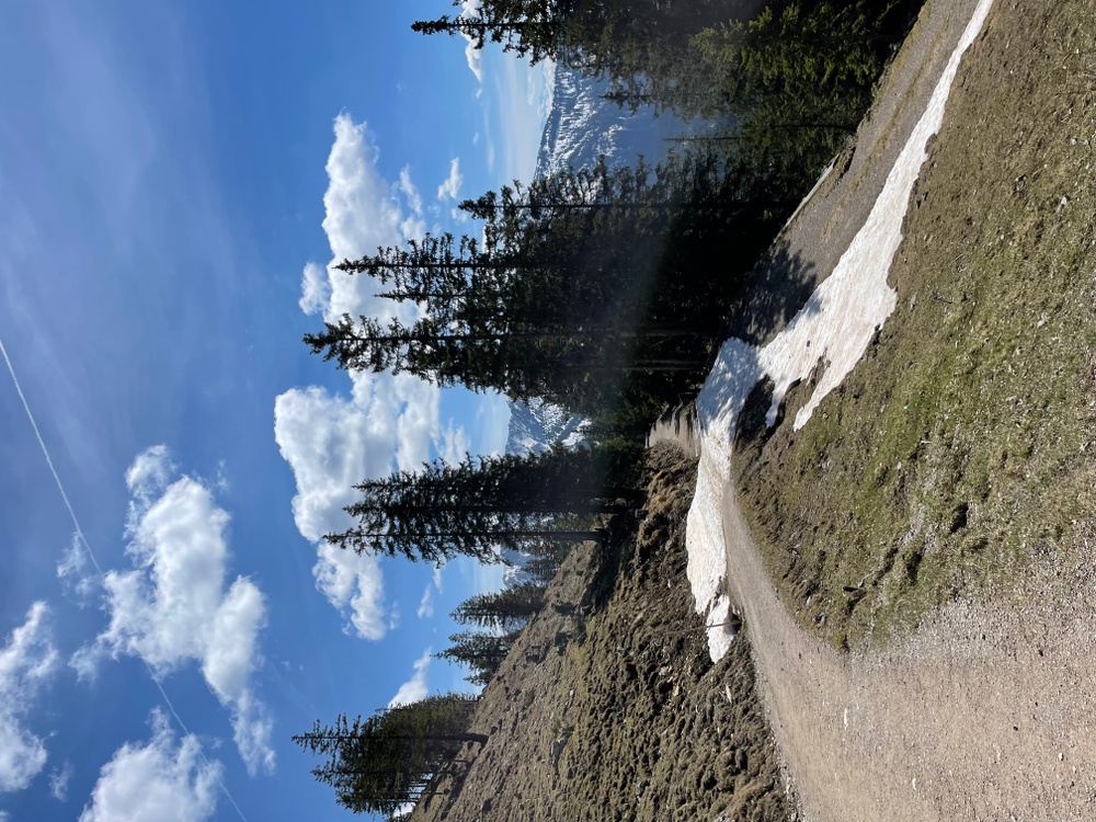
Ready for the next 800 vertical meters? Then let's go! Once you arrive at the bus stop, walk straight down the main road until you reach the Wurzhütte restaurant. There is a barrier there, which you pass (signposted towards Valepp). After a few meters, the path to the Rotwandhaus branches off to the left (yellow signpost). The first section of the trail is still paved, but after half an hour you will pass a small hut and follow the forest path over a small bridge to the right in the direction of Rotwandhaus.
 © Annika Wagner
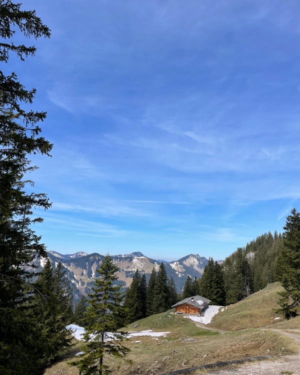
The further you get, the more the mountain forest gradually thins out and you can catch the first good views of the surrounding mountain panorama. Once you have had your fill and taken a short drink break, the last few meters in altitude continue on open terrain.
You now have a good view of the rocky ridge of the Rotwand and the beautiful, wooden Rotwandhaus on the right-hand side. Normally you can also stop off at the "hut" and even stay overnight, but the Rotwandhaus is still on a short break from April 4 to May 2, 2022. So pack a snack! Because you'll need it.
From the Rotwandhaus to the summit
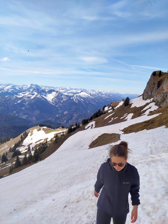
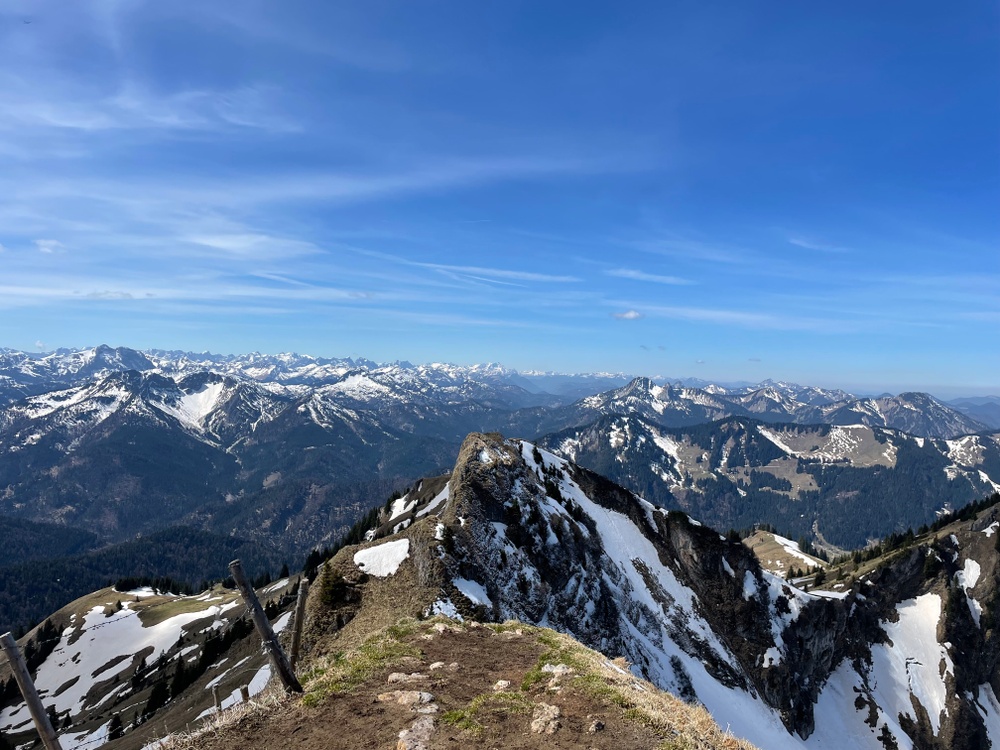
It is a good 100 meters in altitude from the Rotwandhaus to the summit of the Rotwand. This last effort is certainly worth it, as the view from the top is even better than from the hut. So gather your strength and follow the narrow path to the left towards the summit cross.
 © Max Schader
The path first leads moderately steeply to a grassy flank, which is then crossed to the right. The path now leads you quite steeply up to the ridge. Once there, you turn left and reach the summit cross and the incredibly panoramic summit of the Rotwand via a small steep step. Soak up the mountain air and the surrounding panorama and treat yourself to a good snack before you start your descent.
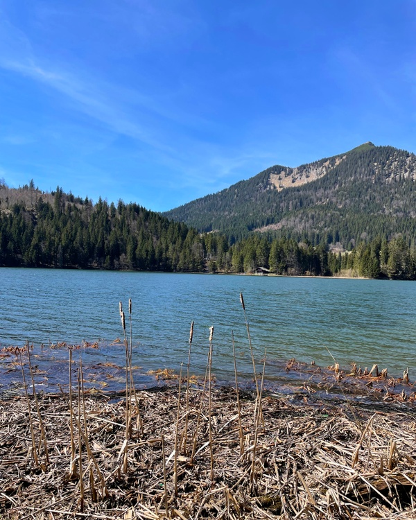
We took the same route back, but you can also take the route via the Taubenstein, which is much busier. If you still have some time at the bottom, the Spitzingsee lake greets you right at the bus stop, where you can soak up a little more sun - either with a well-earned beer or a round of coffee and cake from one of the surrounding inns or kiosks.
Directions & Co.: What you need to know
Directions by car: Take the highway from Munich to Salzburg. Drive via Weyarn, Miesbach, Hausham and Schliersee to Neuhaus. Between Neuhaus and Fischbachau turn right to Spitzingsee. Continue over the Spitzingsattel to Spitzingsee, turn left just before the church and park your car in the parking lot above the church (parking lot subject to charge).
Arrival by bus & train: see continuous text
Difficulty: The tour is classified as easy due to the comfortable forest path that leads you to the Rotwandhaus and the subsequent well-maintained path to the summit. However, you will cover more than 14 kilometers on the way, so you should be reasonably fit.
Duration of the tour: ascent approx. 2.5 hours; descent approx. 2 hours