Out and about with Almdudler: Hike up the Zwiesel
A mountain hike up the Zwiesel in the Chiemgau Alps is particularly worthwhile in the summer months, as the path to the top is very shady for a long time thanks to the deciduous forest. If you also have a few bottles of refreshing Almdudler hidden in your rucksack, nothing can go wrong. This tour covers a total of 950 meters in altitude.
 © Annika Wagner
Stage 1: From the Jochberg parking lot to the Zwieselalm
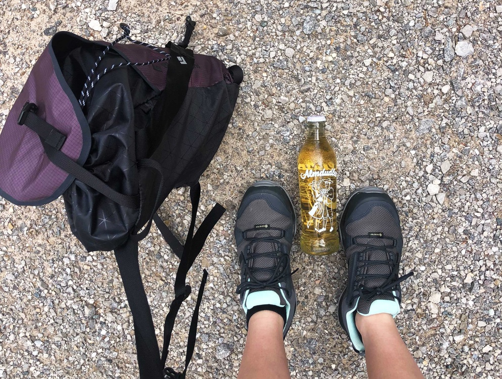
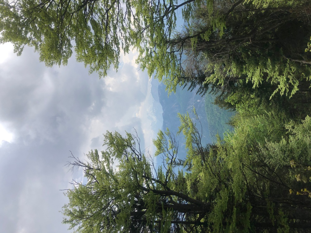
Your hike starts at the Jochberg parking lot, where you can park your car free of charge. Then shoulder your rucksack, stretch a few times and off you go. Follow the forest road uphill at the barrier in the direction of the signs "Zwieselalm" or "Zwiesel". The path is initially flat and uphill, but later, after crossing a forest road, it becomes a little steeper until you turn left onto the "Mulisteig" trail. If you're lucky, you might actually see a few mules (mules) along the way. The first noticeable metres in altitude lead you through a deciduous forest, which protects you from the heat and occasionally offers beautiful views and benches to rest on.
 © Annika Wagner
After a good hour, the forest thins out and you can see the Zwieselalm, also known as the Kaiser-Wilhelms-Haus. Once there, you can stop for a bite to eat and a drink (the hut is open from mid-May to mid-October). Alternatively, you can treat yourself to a quick round of Almdudler from your rucksack and continue straight to the summit. On the way back, you will pass the Alm again.
Stage 2: From the Zwieselalm to the summit
You still have around 400 meters of altitude to climb to the summit out of a total of 950 meters. This adds up to another hour of walking uphill. The path now becomes narrower and increasingly steeper, so take it a little slower.
 © Annika Wagner
On the last few meters you reach open terrain and the summit of the Zenokopf appears on your right. However, you turn left to reach the summit of the Zwiesel. Don't worry, the two peaks are no more than ten minutes apart, so you're almost there. Once you have reached your destination, give yourself a pat on the back and enjoy your Almdudler with a view of the surrounding Chiemgau mountain peaks. The descent is via the ascent - it takes about 1 hour and 45 minutes to get to the bottom.
 © Max Schader
Directions & Co: What you need to know
Directions: By car, take the A8 towards Salzburg and take the Siegsdorf exit. Continue via Inzelzell to Weißbach, where you turn left towards "Ortsteil Jochberg" and follow the road to the large hiking parking lot at the end.
Difficulty: The Zwiesel is an easy mountain tour despite the almost 1000 meters in altitude. Some surefootedness is only required on the path between the mountain pasture and the summit.
Duration of the tour: ascent approx. 2:30 hours, descent approx. 1:45 hours
If you generally enjoy being out and about in the mountains, take a look at Almdudler Wanderlust.